Enhance your career in drone mapping and geospatial analysis with Pix4D Training by Multisoft Virtual Academy. This comprehensive program covers 3D modeling, orthomosaic creation, and advanced photogrammetry techniques. Gain hands-on experience with Pix4D software to transform aerial imagery into accurate, actionable maps and models for real-world applications in GIS, surveying, and construction.
| No schedule available ! |
Course Price At
 Secure Transaction


| No schedule available ! |
Course Price At
Secure Transaction
Online Self Learning Courses are designed for self-directed training, allowing participants to begin at their convenience with structured training and review exercises to reinforce learning. You’ll learn through videos, PPTs and complete assignments, projects and other activities designed to enhance learning outcomes, all at times that are most convenient to you.
Course Price At
Secure Transaction
Introduction to Pix4D Training is a specialized course designed to help learners master drone photogrammetry, 3D mapping, and aerial data processing using Pix4D software. The training provides hands-on experience in creating orthomosaics, digital surface models (DSMs), and 3D models from drone-captured imagery. Participants gain practical skills in project setup, image calibration, and data analysis for surveying, construction, mining, and environmental applications, preparing them to manage complete drone mapping workflows efficiently and professionally.
Build strong Introduction to Pix4D Corporate & Certification Program skills under expert trainers with 13+ years of industry experience, focusing on real-time project handling, integrations, and financial system implementations.
Our Introduction to Pix4D Corporate & Certification Program trainers bring over 13+ years of hands-on industry experience.
Our Introduction to Pix4D Corporate & Certification Program trainers have trained over 3350+ students in real-world cloud courses
Gain practical knowledge through live projects guided by industry-certified trainers.
Experience practical training through real-world scenarios, case studies & industry assignments.
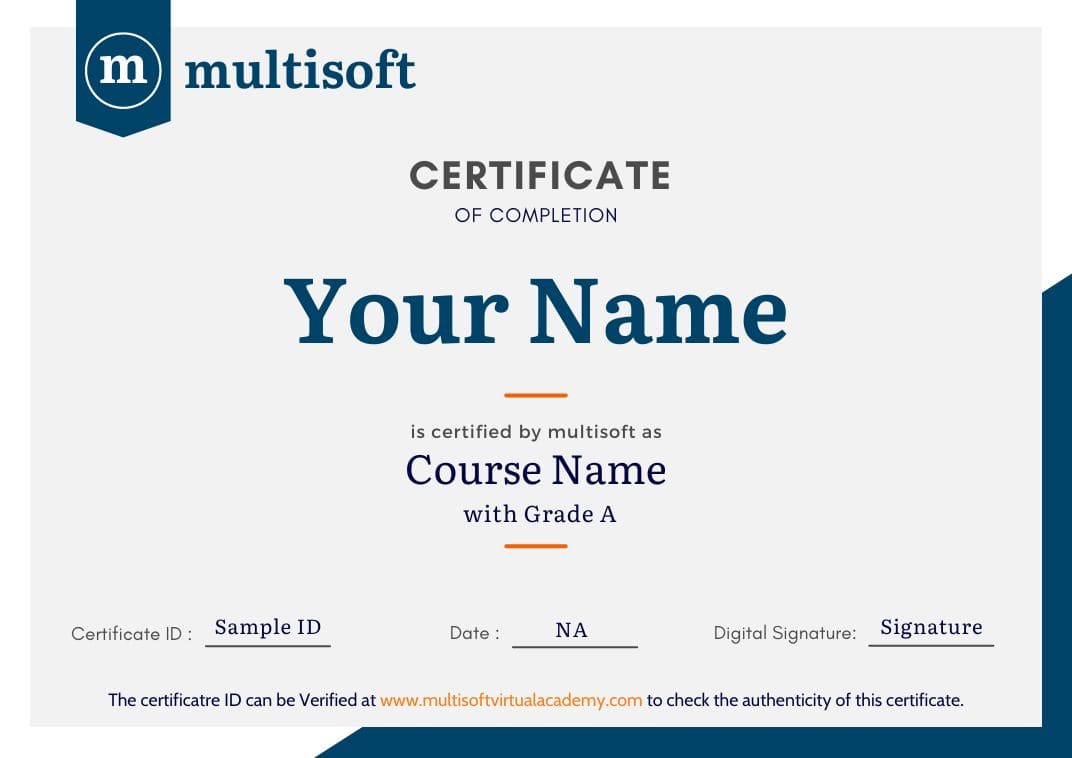
Get expert guidance to prepare, practice, and successfully clear certification exams.
Ability to tailor course content based on learner requirements and industry needs.
✔Build strong fundamentals through a structured curriculum aligned with real-world project requirements and current industry standards.
✔ Develop job-ready skills by working on real-time projects, case studies, and practical assignments using Primavera P6 tools.
✔ Create a strong professional profile with optimized resume, project showcase, and skills presentation aligned with industry expectations.
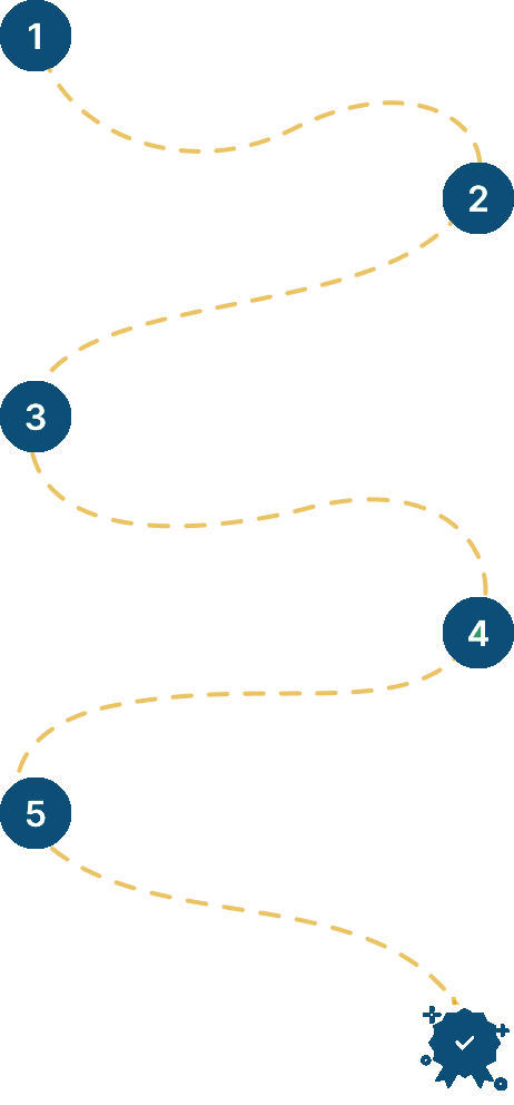
✔ Gain practical understanding of project workflows, planning strategies, and execution approaches used across real industry environments.
✔ Validate your expertise with a globally recognized certification that enhances credibility and improves your professional career opportunities.
✔ Unlock better career opportunities by gaining in-demand skills that align with evolving industry trends and global job requirements.
 1K+ Reviews
 Build Your Own Schedule


 Join our Live Instructor-Led online classes delivered by industry experts